
Heritage Open Day Walk to Top of Leech
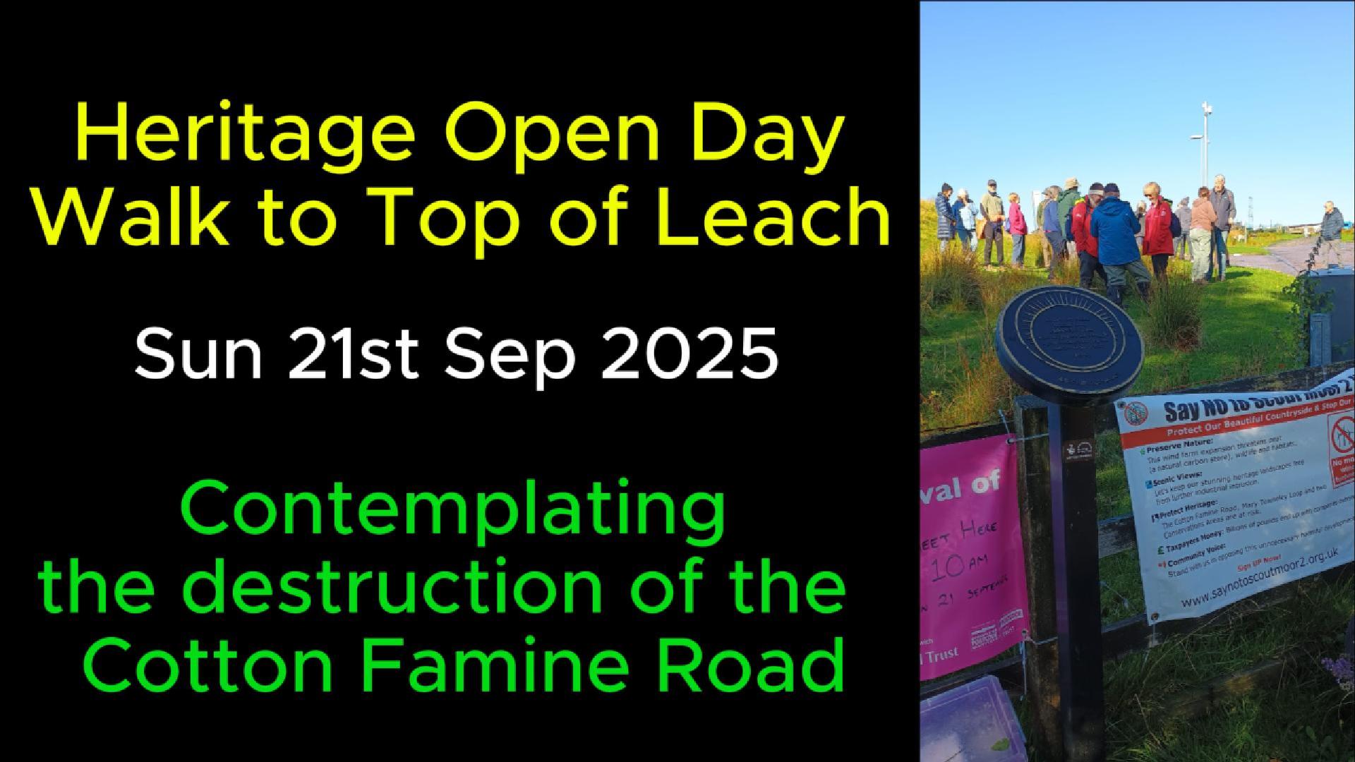
On 21st September 2025 a group of Friends of the Moorland joined to together to walk to the Top of Leech, the highest point on Rooley Moor. This walk was part of a series of heritage events to celebrate the many incredible heritage resources in and around Rochdale. The aim was to enjoy the moor before it is potentially destroyed by an aggressive wind farm development led by Cubico who are owned by Canadian Pension Funds.
View the video below to share in the day and if you want to help us protect the moor and the Cotton Famine Road, find out here what you can do to object to this development.
The Cotton Famine Road
Thanks to the Rooley Moor Neighbourhood Forum for making this walk possible and for providing the following text describing the history of the Cotton Famine Road.
The ‘Cotton Famine Road’ section of Rooley Moor Road is of national and international importance. It is a reminder of the harsh times cotton workers had to endure during the Cotton Famine in their support of the abolition of slavery and is unique in linking the American Civil War to social changes in our own country at a time when John Bright, the Rochdale Pioneer Movement and Chartism influenced social thinking throughout the UK.
Abraham Lincoln acknowledged the people of Manchester in his letters for the hardship they endured during the American Civil War and the Cotton Famine Road stands today as a monument to Abraham Lincoln, John Bright and those millworkers who took a decisive stance to end slavery.
John Bright was a Rochdale mill owner and Liberal MP for Manchester from 1847 to 1857. Bright is possibly best known for his part in abolishing the Corn Laws, but the Rochdale born radical was a Quaker whose religious views shaped his pacifism and opposition to slavery.
Bright was a profound influence on US president Abraham Lincoln and in a letter to Republican senator Charles Sumner, through whom he made his connection with Lincoln, Bright wrote, ‘our working-class is with you and against the South.’
In 1863 at the instance of John Bright, Lincoln pardoned a young London born Englishman, Alfred Rubery, for a federal crime in the US. The pardon of Alfred Rubery reads as follows:
Where as one Alfred Rubery was convicted on or about the twelfth day of October 1863, in the Circuit of the United States for the District of California, of engaging in, and giving aid and comfort to the existing rebellion against the Government of this country, and sentenced to ten years’ imprisonment, and to pay a fine of ten thousand dollars;
And whereas, the said Alfred Rubery is of the immature age of twenty years, and of highly respectable parentage;
And whereas, the said Alfred Rubery is a subject of Great Britain, and his pardon is desired by John Bright, of England;
Now therefore, be it known that I, Abraham Lincoln, President of the United States of America, these and divers other considerations me thereunto moving, and especially as a public mark of the esteem held by the United States of America for the high character and steady friendship of the said John Bright, do hereby grant a pardon to the said Alfred Rubery, the same to begin and take effect on the twentieth day of January, 1864, on condition that he leave the country within thirty days from and after that date.
Sections of the Cotton Famine Road consist of stone setts, which were hewn by hammer and chisel from local quarries. The approximate length of these sections, from Ding Quarry entrance to Catley Lane Head, is 1,950 yards, the number of stone setts across the road varies from 12 along the narrow sections to 24 at Catley Lane Head. Presuming an average number of stone setts per row of 16 and rows per yard of 10.5 gives a total number of 327,600 stone setts, this excludes the volume of the stone edgings and drainage channels.
Given the reasons the poor of Rochdale laid about a third of a million stone setts into the fabric of Rooley Moor by hand, the Cotton Famine Road must be worthy of preservation! The setting of the road in its historic landscape allows one to reflect on what it must have been like to work out on the moor, especially in poor weather.
At an altitude of over 1500 feet this historic feature may also lay claim to being one of the highest roads in England. Enjoyed by walkers & runners, ornithologists and cyclists, this moorland route also forms part of the Pennine Bridleway allowing safe access for horse riders on the Mary Townley Loop.
The upper section of Rooley Moor Road is visible from many miles away (often called the ‘yellow brick road’) and is a prominent part of the North Manchester / Lancashire / West Yorkshire landscape.
We think many people who see the road from afar do not currently appreciate its history or significance, and an underlying objective of the neighbourhood forum will be to improve this awareness.