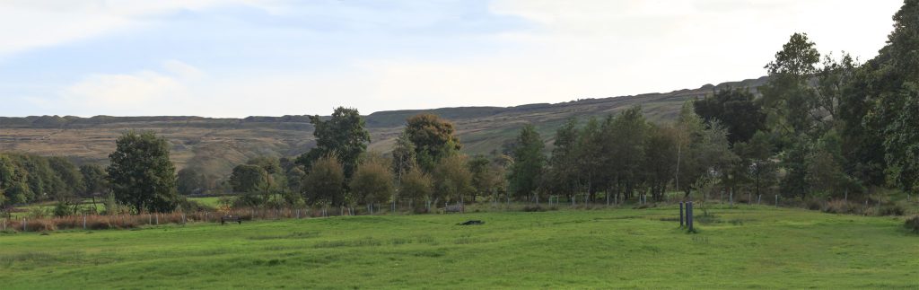
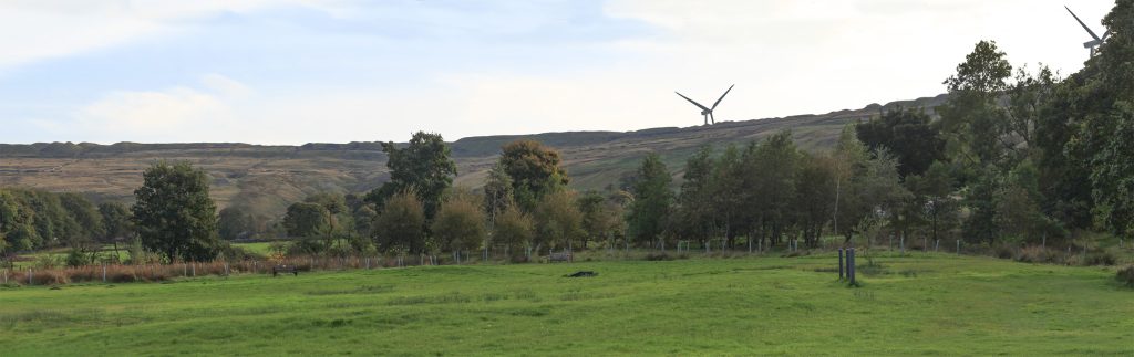
Visualisations from the Planning Application v2
Introduction
The following example viewpoints are taken from two viewpoint documents:
The full set of documents are available on Rossendale’s planning portal, but you will need to login before this link will work.
Use the slider and buttons on each image to view the before and after versions.
The visualisations for the previous iteration of the plans are available here.
1. Viewpoint CH02 Prickshaw Lane between Station Road and Broadley Fold Cottage
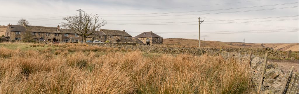
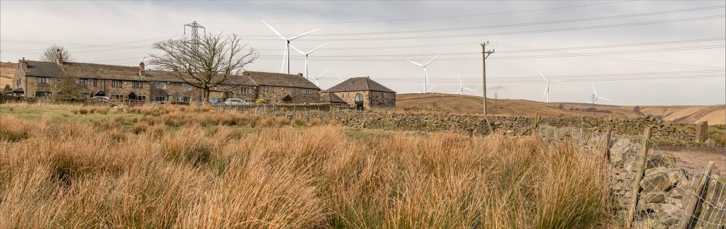
2. Viewpoint CH07 PROW between Station Rd and Lower Dunishbooth
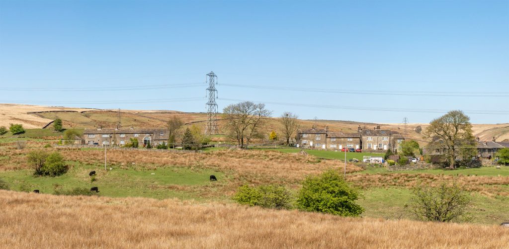
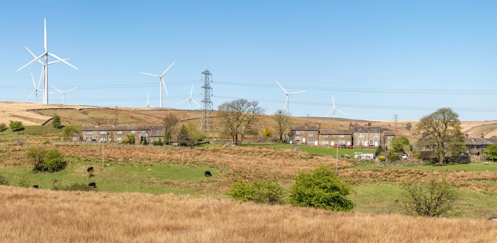
3. Viewpoint NS2 Knack’s Lane (night)
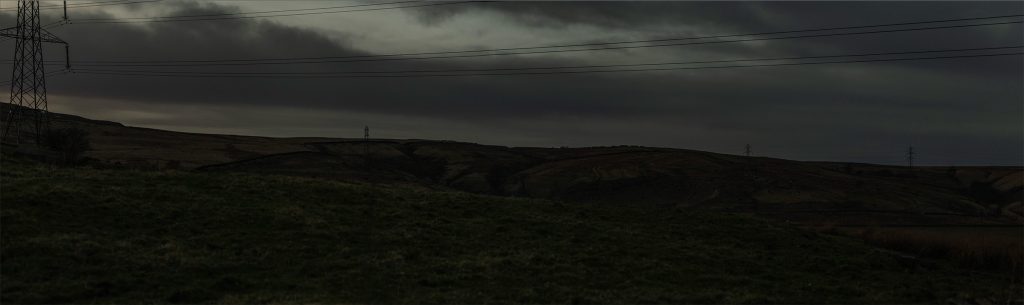
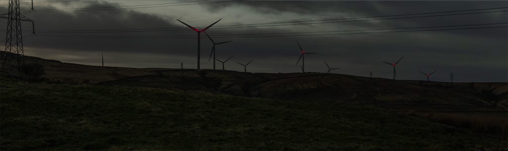
4. Viewpoint CH03 Whitworth Rake Road north of Lobden Golf Club
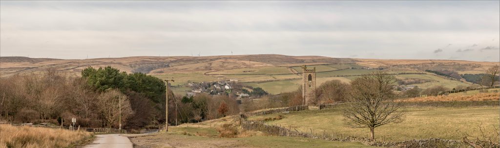
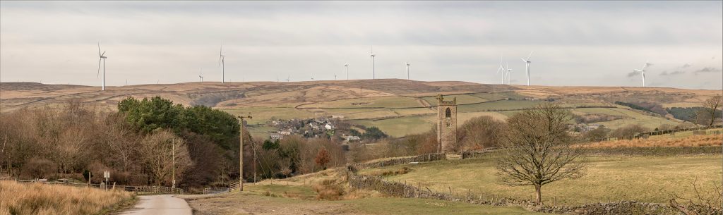
5. Viewpoint CH01 Whitworth Cemetery
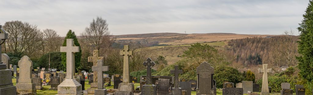
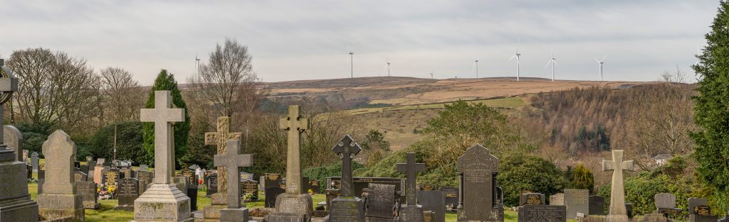
6. Viewpoint NS6 Coppice Drive, Whitworth
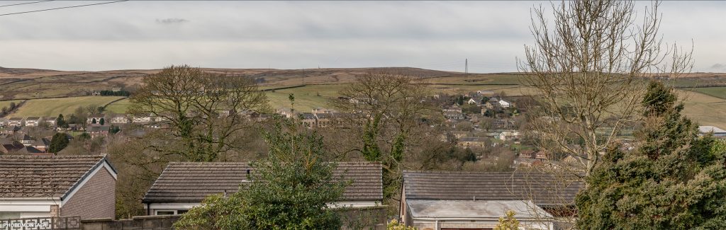
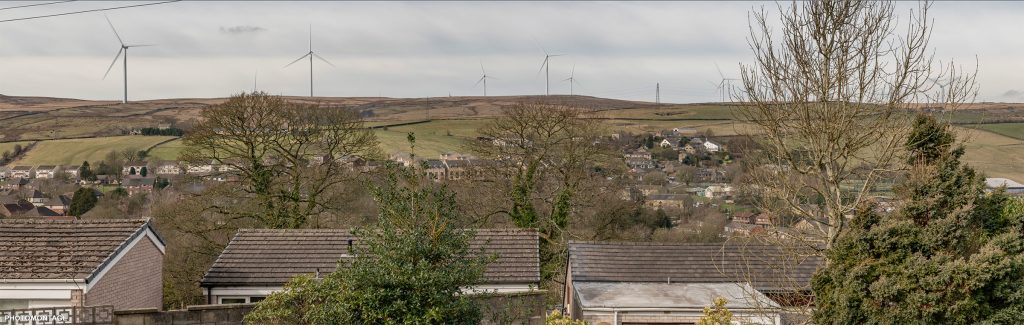
7. Viewpoint NS17 peel tower (night)
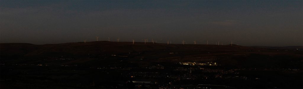
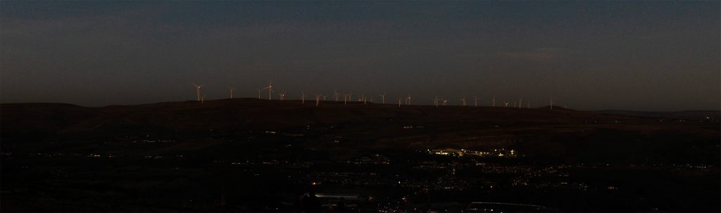
8. Viewpoint NS8 Bankside Lane PRoW, Bacup
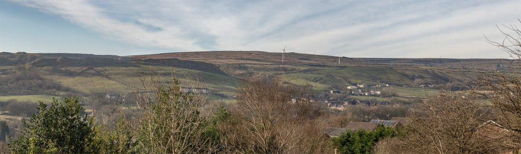
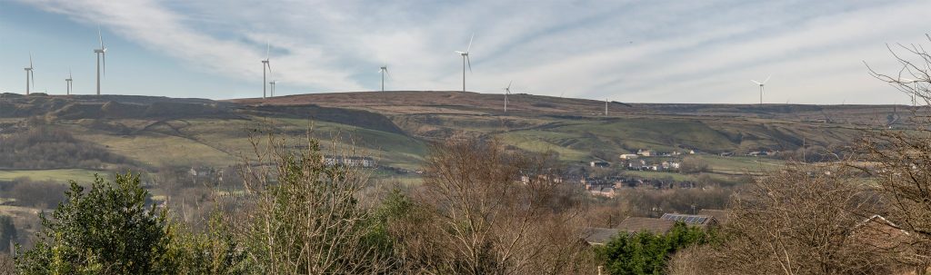
9. Viewpoint NS1L Rooley Moor Road
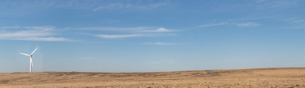
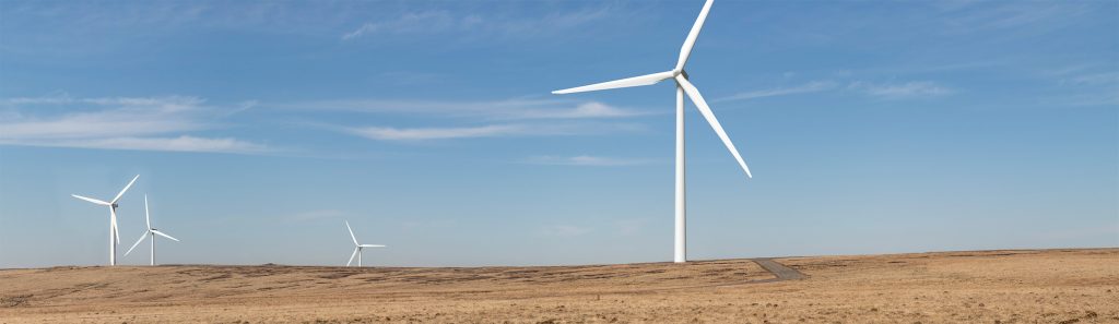
10. Viewpoint NS1N Rooley Moor Road
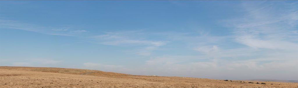
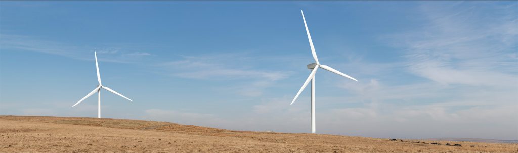
11. Viewpoint NS1P Rooley Moor Road
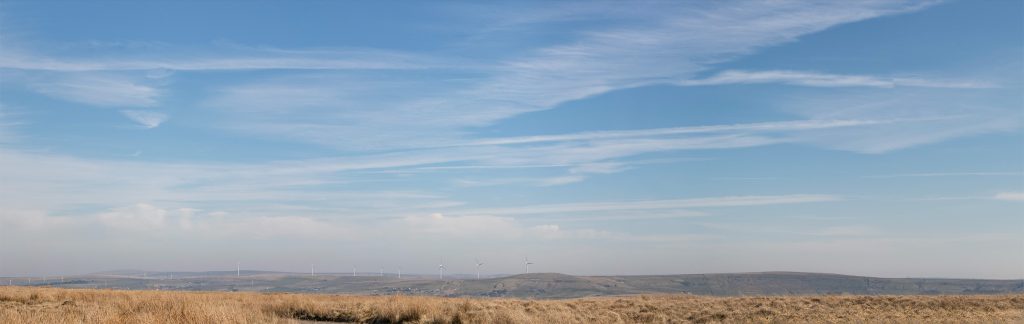
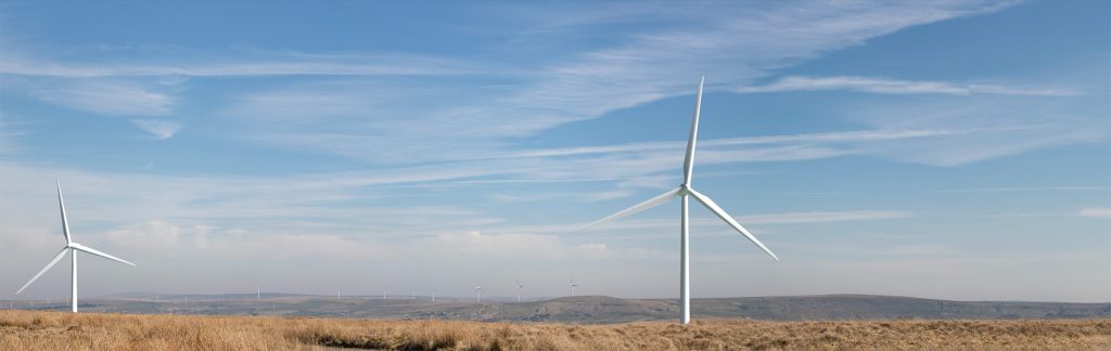
12. Viewpoint NS5D Cowpe Recreation Ground
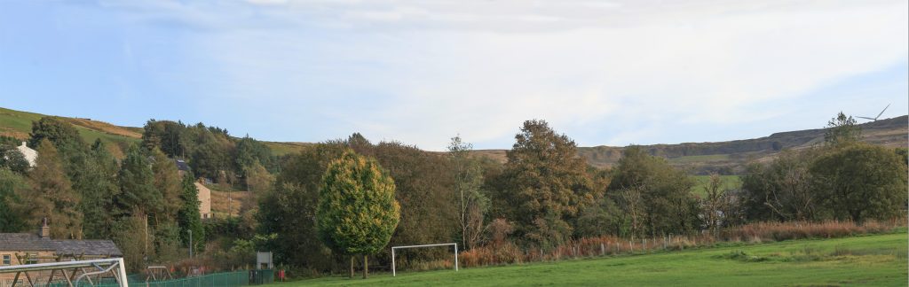
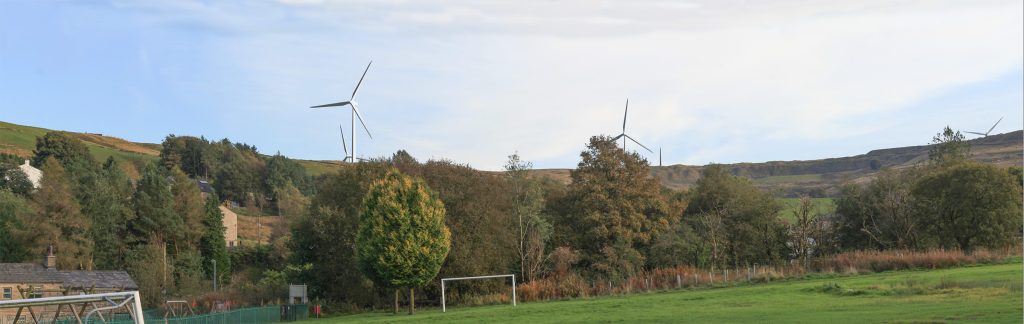
13. Viewpoint NS5F Cowpe Recreation Ground